State of the art analytical and surveying equipment
Getting you eqipped for both analytical and field research.
Teaching within the School of Geography, Geology and the Environment and research within the Geography, Geology and Environment Research Centre is supported by the availability of a wide range of analytical instruments from handheld spectrophotometers and X-ray fluorescence to laboratory-based gas chromatographs, a range of microscopes, particle size analyser, organic elemental analysers and ICP-OES and ICP-MS. These instruments are routinely used for research purposes at Keele University under funding from NERC, ERDF, Environment Agency, Royal Society of Chemistry, etc.; however, we do offer sample analysis service for outside universities, consultancies and government and non-government organizations.
Laboratory equipment list
The Flash2000 series organic elemental analyser at Keele is capable of analysing carbon, nitrogen, sulphur, hydrogen and oxygen in solid media.
Samples weighed into tin capsules are introduced into the flash combustion chamber (~1000 0C) by an auto-sampler. The carbon, nitrogen, sulphur and hydrogen in the samples are combusted to elemental gases, which are then directed to a separation column for elution into a thermal conductivity detector (TCD) for concentration measurement.
The analyser is operated in a pyrolysis mode for oxygen concentration measurments.
Contact: gge.labenquiries@keele.ac.uk
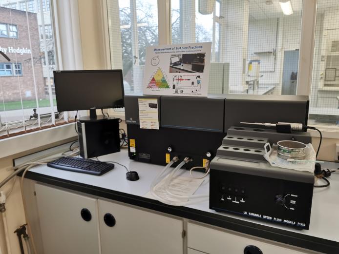
The laser diffraction particle analyser is capable of analysing particle sizes with a resolution of 0.04 µm to 2000 µm.
The analysis is supported by software capable of analysing the data for size (% weight & distribution), among others, with high reproducibility and accuracy.
Contact: gge.labenquiries@keele.ac.uk
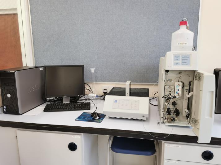
Contact: gge.labenquiries@keele.ac.uk
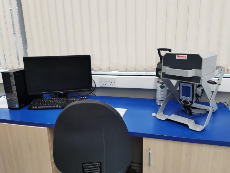
The NITON XL3 Analyzer is a single unit, hand held, high performance portable x-ray fluorescence (XRF) elemental analyzer.
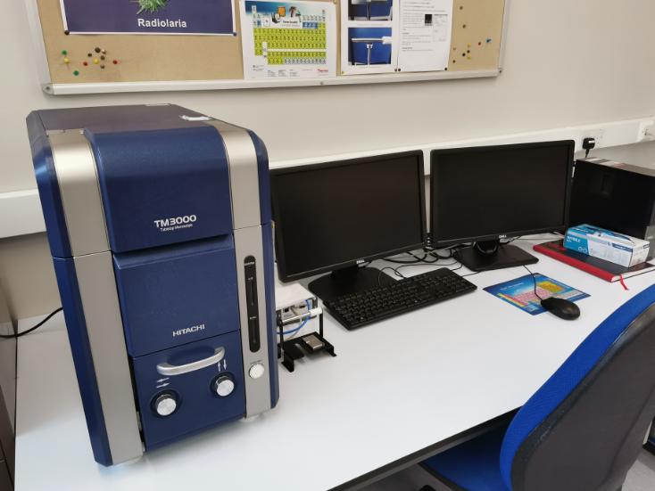
The TM3000 is a true desk-top SEM capable of magnifying up to 30,000X. It has the advantage of being capable of viewing un-coated specimens - though that can limit the magnification.
In addition it also has a Bruker EDX analytical system attached thus enabling whole area analysis, spot analysis, line profiles and image-mapping.
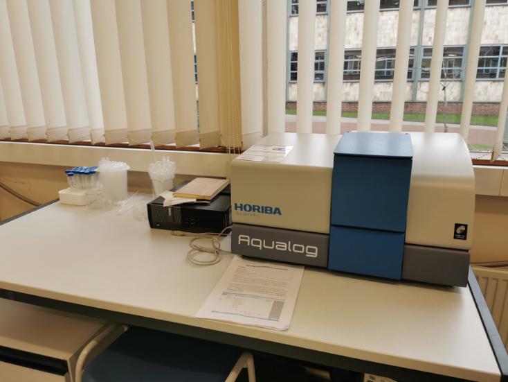
Horiba Scientific Aqualog-UV-800-C for florescence analysis in water samples
Contact: GGE Tech Team
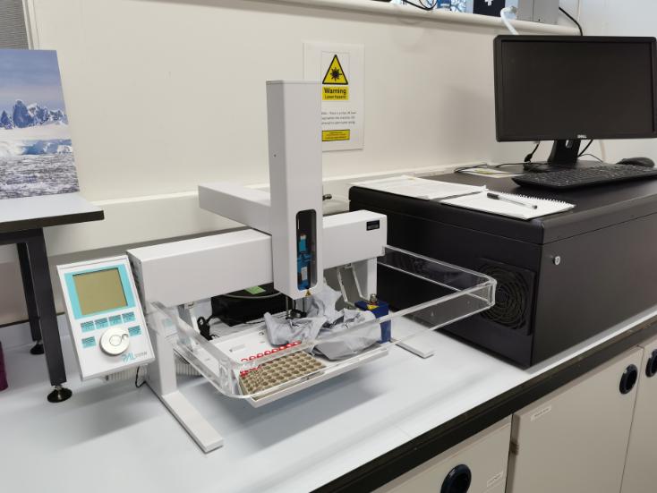
Las Gatos Research Liquid Water Isotope Analyzer 24d for High precision water isotopes analysis
Contact: GGE Tech Team
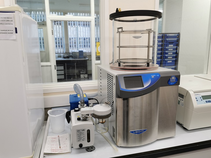
The Labconco FreeZone Benchtop Freeze Dryer is capable of reaching temperatures of -50C under vacuum, removing moisture from samples in preperation for testing or long term storage.
Contact: GGE Tech Team
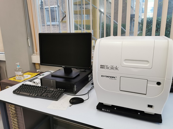
The Cytation 1 Is a poweful plate reader and imager that combines fluorescence and high contrast brightfield imaging to produce high quality images of samples. The software allows the user to take measurements of their samples, and can automatically count the number of objects that meet the users parameters.
Contact: GGE Tech Team
Geophysics & surveying equipment list
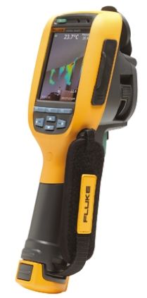
The Fluke TiR125 Thermal Imager is comercially used for building diagnostics; detecting air leaks, hidden moisture, construction defects and heat loss, etc. This thermal imaging camera is widely used in research pertaining to geophysics and forensic entomology.
Contact: Jamie Pringle / Luke Hobson
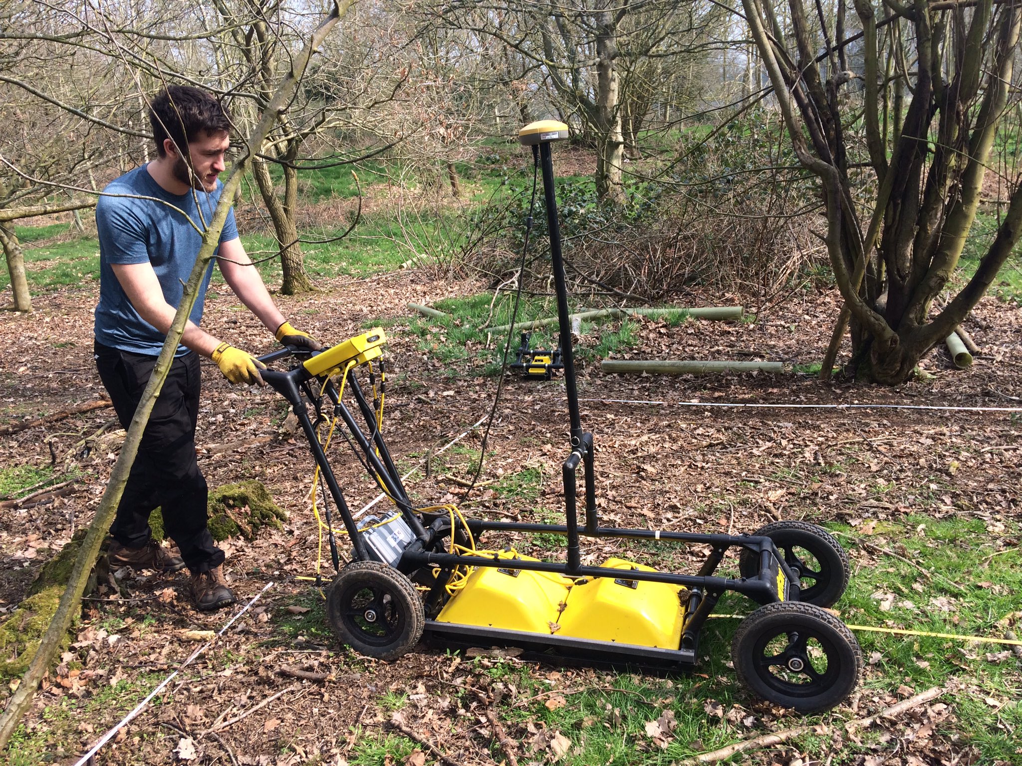
Collects 2D vertical site transects using set central frequency transmitter/receiver antenna, available are 250 MHz, 500 MHz and 1000 MHz on cart configuration. Ability to view buried object location/approx. sizes in real time and can create 3D datacubes post-data processing.
Contact: Jamie Pringle / Luke Hobson
Video: GPR with Dr. Jamie Pringle
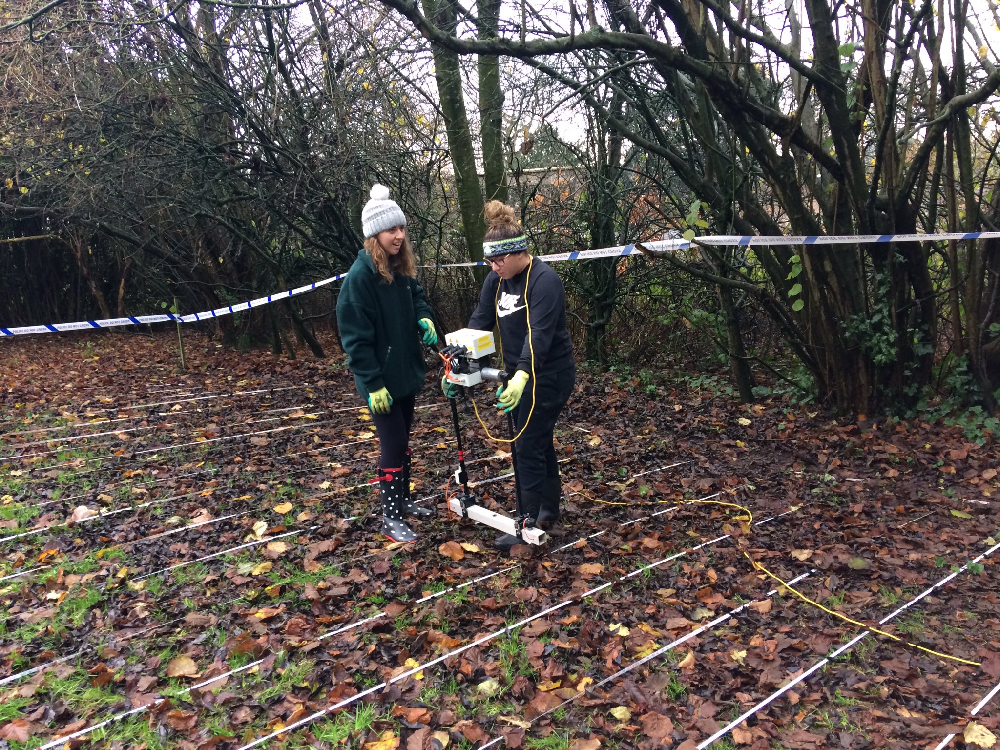
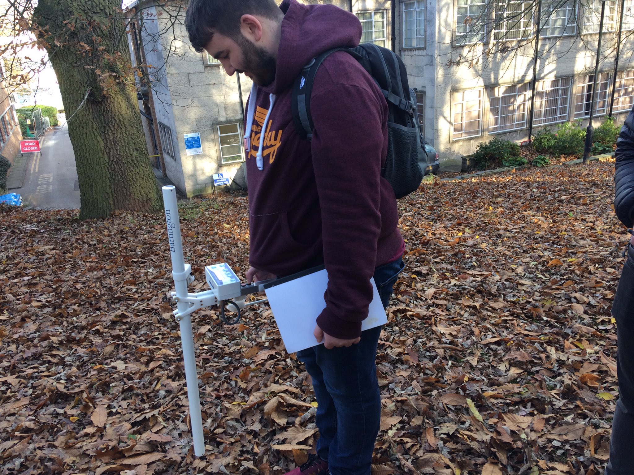
Collects apparent resistivity readings over sampled area (can change probe spacings/configurations to collect multiple readings/depths), which can be processed for either 2D lines or 3D surface grids, but depth limited.
Contact: Jamie Pringle / Luke Hobson
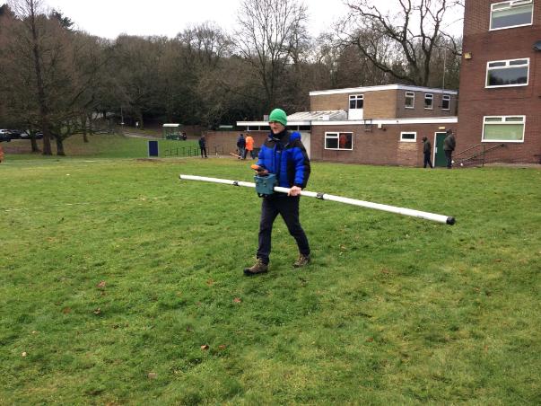
Used to measure relatively small conductivity (quadrature) and magnetic susceptibility (inphase) changes in ground and surrounding environment, typically up to 10m bgl in good conditions but relatively poor resolution (3.6m separated transmitter/receiver coils).
Contact: Jamie Pringle / Luke Hobson
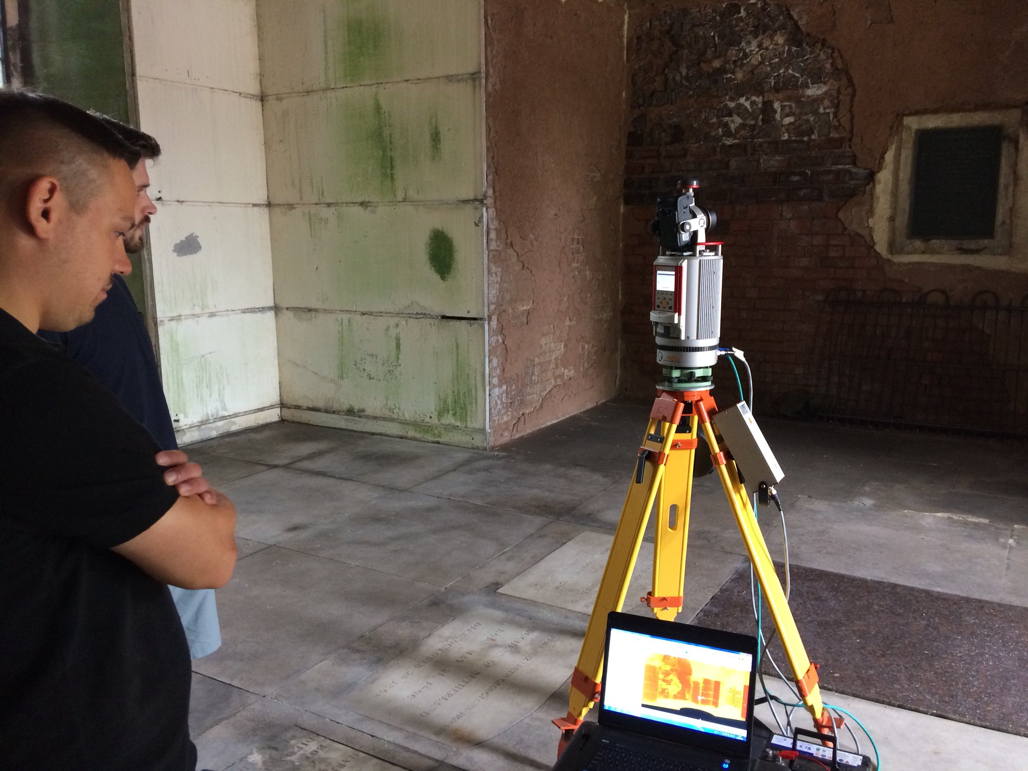
Used to collect dense data point clouds (can colour points with RGB from instrument camera) over scanned area, converts to DTM or can interrogate later for surface depression/elevation areas etc.
Contact: Jamie Pringle / Luke Hobson
Video : Surveying with Dr. Jamie Pringle
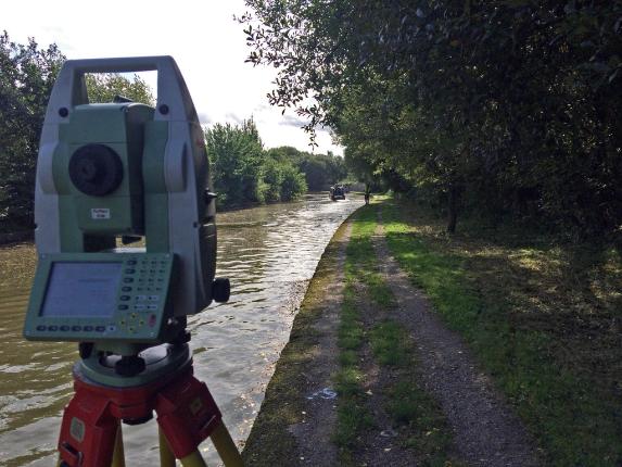
Collects single points using reflector/reflectorless to accurately (~mm) survey specified site points. Useful to convert site to real-world co-ordinates.
Contact: Jamie Pringle / Luke Hobson
Video : Surveying with Dr. Jamie Pringle
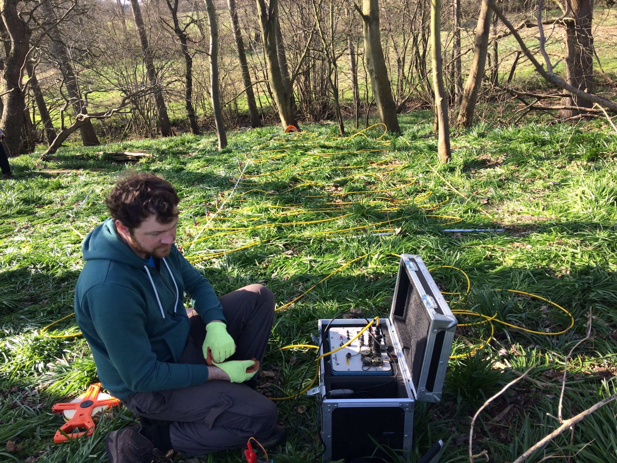
Used to generate 2D vertical resistivity slices over specified area to characterise object size/depth up to 50m bgl. Produces high quality data but not suitable for initial surveying because of it's set up time.
Contact: Jamie Pringle / Luke Hobson
Video: ERT with Dr. Jamie Pringle
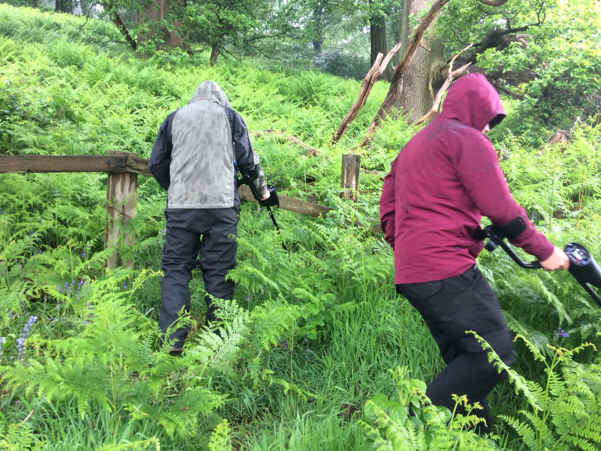
Actually conductivity meters, can detect metallic objects up to 1m bgl in good conditions with careful coverage over survey sites.
Contact: Jamie Pringle / Luke Hobson
Very sensitive to near-surface magnetic anomalies (depth limited to few metres), careful calibration and data collection required, and can be affected by above-ground metallic interference.
Contact: Jamie Pringle / Luke Hobson
Video: Magnetic Gradiometry with Dr. Jamie Pringle
Bespoke aquatic geophysics boat
FNS-funded adapted kayak with electric motor, dGPS spatial positioning, Water Penetrating Radar (WPR) and sonar to allow inland accurate surveying. Can also be used to collect water/sediment samples.
School of Geography, Geology and the Environment
William Smith Building
Keele University
Staffordshire
ST5 5BG
Tel: +44 (0) 1782 733615
School email: gge@keele.ac.uk


